
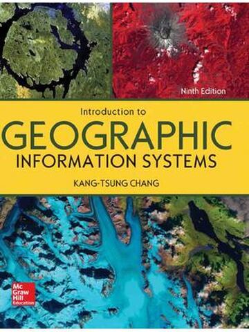
Introduction to Geographic Information Systems 9th Edition By Kang-tsung Chang
$30.00
Secure checkout
Instant digital download
PDF document
Document details
- Pages
- 461
- File size
- 11.16 MB
- Format
- Digital PDF
- Course
- Education
- Category
- eBook[PDF]
Sign in or create a free account to continue. Your purchase will be saved in My Downloads.
About this ebook
The Introduction to Geographic Information Systems (9th Edition) by Kang-tsung Chang is structured into 18 comprehensive chapters published by McGraw-Hill Education. The book provides a balanced breakdown of basic geospatial data models, data preparation, mapping, and advanced spatial analysis. [1, 2, 3]
The topics covered across the 18 chapters are organized into the following major modules:
🌐 1. GIS Foundations & Data Models (Chapters 1–4)
- GIS Concepts and Introduction: An overview of geographic information systems, foundational terminology, and how components fit into a complete system. [1, 2]
- Coordinate Systems: Map projections, geographic coordinate systems, datums, and projected coordinate systems. [1]
- Vector Data Model: Explaining point, line, and polygon representations, as well as geometric topologies (adjacency, connectivity, and containment). [1, 2]
- Raster Data Model: Cells, grids, and structure formats for continuous geographic data surfaces. [1]
🛠️ 2. Data Acquisition, Management & Quality (Chapters 5–8)
- Geospatial Data Acquisition: Methods for compiling and digitizing geospatial data, including GPS-based mapping and web data inputs.
- Geometric Transformation: Georeferencing, image-to-map rectification, and shifting spatial datasets to match coordinate frameworks.
- Spatial Data Accuracy & Quality: Assessing data errors, topological consistency rules, and standardizing data quality.
- Attribute Data Management: Linking relational databases (ODBC), managing attribute tables, data queries, and data editing. [1, 2, 3]
🗺️ 3. Data Display & Exploration (Chapters 9–10)
- Cartography and Data Display: Visualizing geographic data, symbolization, map design, and classification types.
- Data Exploration: Interactive data viewing, brushing, dynamic linking, and initial spatial queries. [1, 2]
📊 4. Core Data Analysis (Chapters 11–12)
- Vector Data Analysis: Buffering, overlay operations (intersect, union), and advanced vector-based selection tools.
- Raster Data Analysis: Local, focal, zonal, and global raster calculations or map algebra. [1, 2, 3]
🏔️ 5. Surface & Terrain Analysis (Chapters 13–15)
- Terrain Mapping: Creating and analyzing Digital Elevation Models (DEMs) and Triangulated Irregular Networks (TINs).
- Spatial Interpolation: Estimating unknown values across a surface using techniques like IDW, Kriging, and Spline.
- Surface Analysis: Calculating slope, aspect, viewsheds, and watershed delineation. [1]
🚗 6. Linear Features, Movement & Modeling (Chapters 16–18)
- Linear Referencing: Managing data associated with relative locations along linear paths (like highway mileposts).
- Network Analysis & Movement: Finding shortest paths, closest facilities, service areas, and fleet routing.
- GIS Models and Modeling: Building spatial models, process automation, and integrating binary or index models to solve real-world problems. [1, 2]
File included
tmpphpk0cyzs
11.16 MB
Related ebooks